Drone maps & 3D models in Austria
9 sub-areas · 24 public projects on this page · page 1 of 2
About drone maps in Austria
Explore public orthophotos (high‑resolution maps) and 3D point clouds created by pilots in Austria. Use the filters to switch between Maps and 3D, and the search to find specific sites.
FAQ for Austria
What kinds of drone data are available?
Public orthophotos (maps) and 3D point clouds captured by local pilots.
How can I make models and maps like this?
Get started for free by making an account and uploading drone imagery.
Public projects
 Orthophoto / Map
Landwirtschaftliche Fachschule Stiegerhof CowKnowHow
 Orthophoto / Map
Nordost Apotheke Amazon Locker alexis
 Orthophoto / Map
EHS Verpackungen Kfz Winter GmbH
 Point Cloud / 3D
Landwirtschaftliche Fachschule Stiegerhof CowKnowHow
 Point Cloud / 3D
Die Ruhe Kaiserbahn Bergstation
 Point Cloud / 3D
Die Ruhe Kaiserbahn Bergstation
 Point Cloud / 3D
Die Ruhe Kaiserbahn Bergstation
 Point Cloud / 3D
Josef Lanner Loftfactory
 Point Cloud / 3D
Josef Lanner Loftfactory
 Orthophoto / Map
Trust Shisha 1220 Azem Optik
 Point Cloud / 3D
Gruppa L Ultima Swatch
 Orthophoto / Map
Gruppa L Ultima Swatch
 Point Cloud / 3D
Dr Erwin Schwaighofer Gemeindeverband für Umweltschutz und Abgabeneinhebung im Bezirk Melk GVU
 Point Cloud / 3D
Kiebler Erwin der Lieferant für Gewerbe Industrie und Handwerk
 Point Cloud / 3D
Kiebler Erwin der Lieferant für Gewerbe Industrie und Handwerk
 Orthophoto / Map
Geldautomat Accommodations Comfort Camping Burgstaller
 Point Cloud / 3D
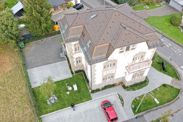
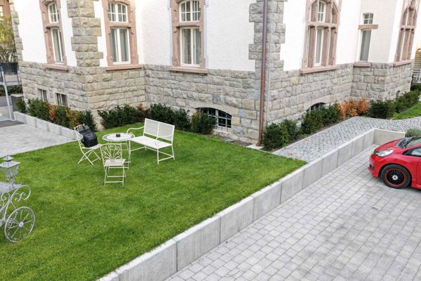
Boutique Hotel by Maier Villa Robert Bösch
 Point Cloud / 3D
Boutique Hotel by Maier Villa Robert Bösch
 Orthophoto / Map
Dr Diether Ribitsch Schmerzpraxis Aussee
 Point Cloud / 3D
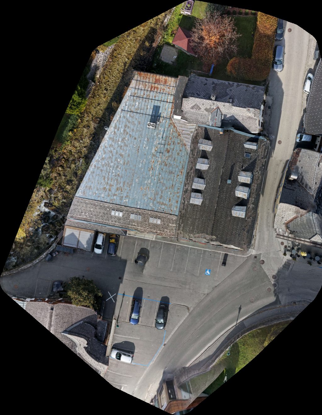
Pölzl Feuerlöschtechnik GmbH Roto Frank Austria
 Point Cloud / 3D
Postbriefkasten Ort
 Orthophoto / Map
Jan Eberwein SPAR Zieserl Stadt Schlaining
 Point Cloud / 3D
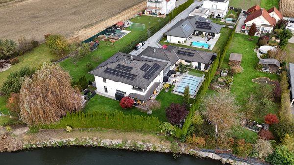
Urlaub am Bauernhof Ebner Home of the wild bengals
 Point Cloud / 3D
Landwirtschaftliche Fachschule Stiegerhof CowKnowHow
No projects match your filters. Try clearing filters or searching a different term.