Drone maps & 3D models in Albania
7 sub-areas · 9 public projects on this page
About drone maps in Albania
Explore public orthophotos (high‑resolution maps) and 3D point clouds created by pilots in Albania. Use the filters to switch between Maps and 3D, and the search to find specific sites.
FAQ for Albania
What kinds of drone data are available?
Public orthophotos (maps) and 3D point clouds captured by local pilots.
How can I make models and maps like this?
Get started for free by making an account and uploading drone imagery.
Public projects
 Point Cloud / 3D
Murrizi Aga Group cash carry
 Orthophoto / Map
Repairing door window for car Markata
 Orthophoto / Map
Kalçeto Çuko ALITEX s h p k
 Orthophoto / Map
Stacioni Elektrik Domje Hidrosanitare Dama
 Orthophoto / Map
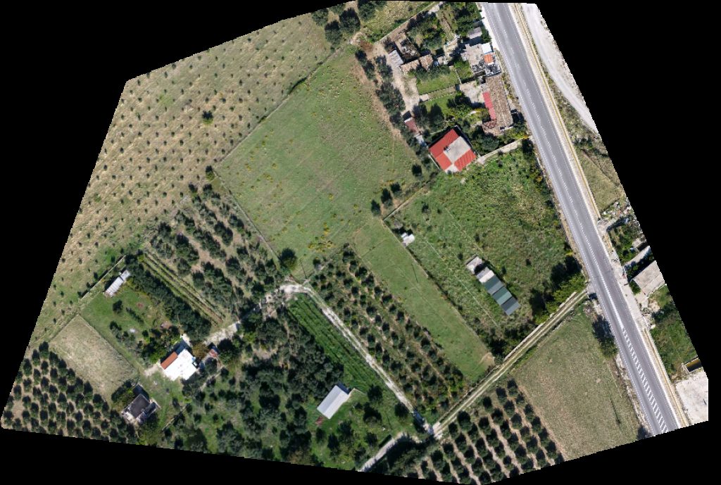
ALB ADRIATICO 2013 Miri s vacation house
 Point Cloud / 3D
Kryezjarr elbasan albania Ujevara Cakallit Waterfall
 Orthophoto / Map
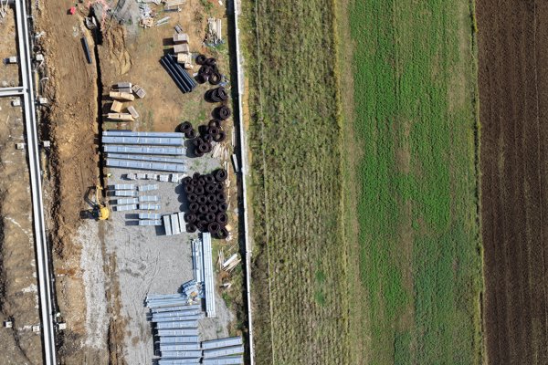
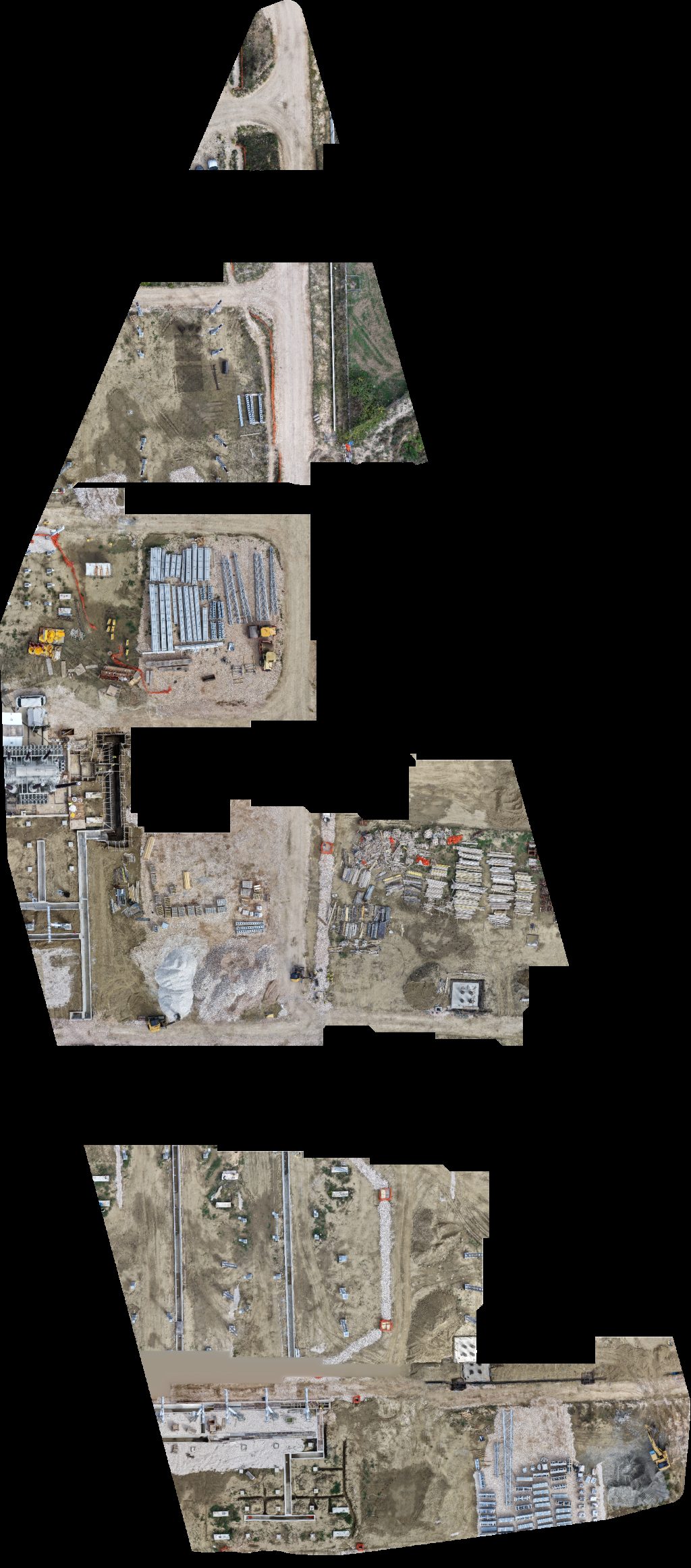
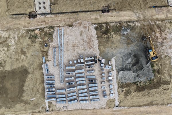
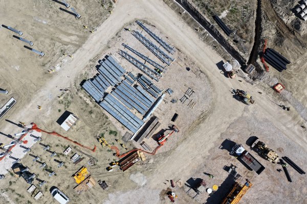
OST Njësia Operative Kraftwerk Flier
 Point Cloud / 3D
OST Njësia Operative Kraftwerk Flier
 Point Cloud / 3D
OST Njësia Operative Kraftwerk Flier
No projects match your filters. Try clearing filters or searching a different term.